RESEARCH NETWORK
Real surveyors. Real evidence.
Field notes. Photos. Monuments. Positions. All in one place.
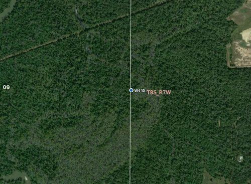
Corner Evidence Record · W4_10_8S_7W_0001
| Corner | W 1/4 corner, Section 10, T8S R7W |
|---|---|
| Monument | 1¼" iron pipe — found |
| Found by | Land Surveyor · 06/02/2026 |
| Accessories | Gum 24" NW 15.00 ft "X" · Gum 20" NE 20.00 ft "X" |
| Notes | Submerged most of the year — 6.5' pipe set alongside |
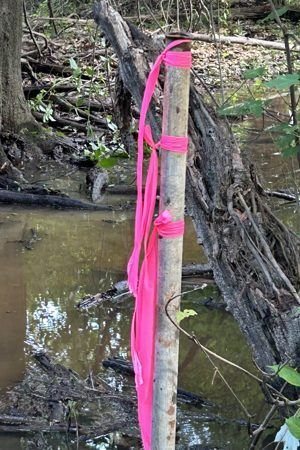
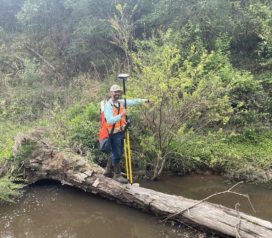
1Cross the creek
A mile in, the ground gets tough. The record tells you exactly what you're looking for.
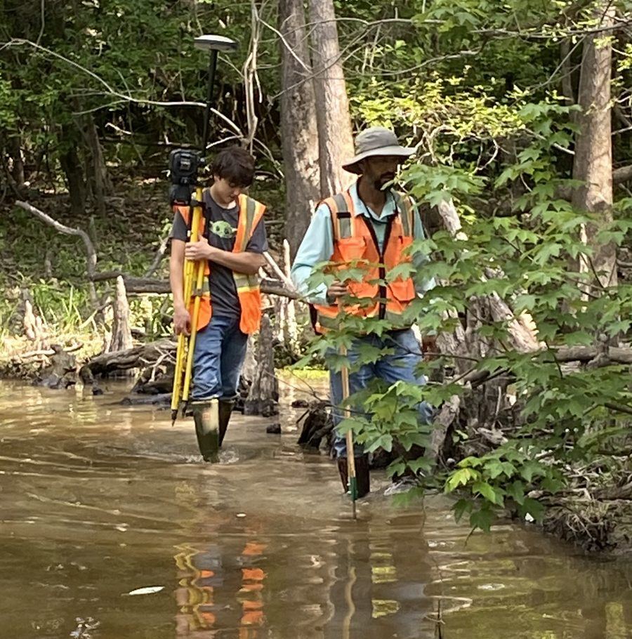
2Follow the evidence
Head straight for the corner with the position, ties and notes another surveyor left.
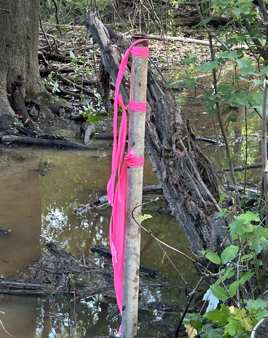
3Find the monument
The same pipe, the same corner — found because someone documented it first.
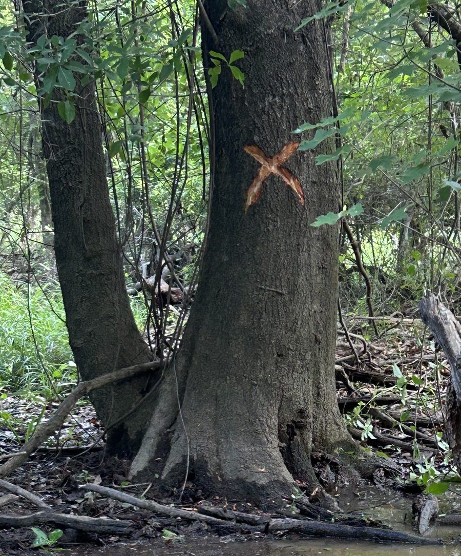
4Mark it for the next crew
Blaze the bearing trees, flag it, and add your observation to the record.
Wouldn't you walk a mile into the woods with more confidence after seeing this record?
POSITIONS
PROFESSIONALS
SURVEYORS
What LSRN is
A map of corner evidence
Search by parish, section-township-range, corner name or area. Every corner shows who found what, when, and how it was identified.
An attributed history
Every observation is kept — the 1987 pipe, the 2004 re-find, the visit when it wasn't found. LSRN records evidence and conflicts; it doesn't decide who is right.
Built for the field
Capture a corner on your phone with GPS, photos and a sketch, then finish the Corner Evidence Record at the office.
How it works
Capture
Record the corner in the field — position, monument, accessories, photos, sketch and the survey or plat your information came from.
Complete
LSRN prints your Corner Evidence Record, numbered and pre-filled. Finish it, check it, and upload it. Until then it stays private to you.
Share
Uploading publishes the observation to the network, locked and attributed to you — and your research gains everything other members have shared.
Who it's for
Louisiana PLSs and surveying firms
The core of the network: licensed surveyors sharing selected professional observations and gaining access to everyone else's.
Approved professional users and contributors
Some of the best corner evidence is kept by the people who look after the land every day. Foresters and timber companies managing large tracts, parish assessors and clerks of court, and utilities that work alongside surveyors are welcome to join and share what they know. Their contributions carry their profession, so every surveyor can weigh the evidence with confidence. By approval.
Membership is by request and review. Founding Surveyor places are open to the first members, who help shape the service; details are shared when you request access.
Frequently asked questions
Is an LSRN record a survey or a legal document?
No. LSRN is a research resource. Its Corner Evidence Records are informational field records of evidence found — not certified corner records, surveys, plats or corner restorations — and LSRN never makes boundary determinations. Professional judgement stays with the licensed surveyor.
Why should I give away my information?
You don't give it away — you trade it. You choose which observations to contribute, they stay attributed to you, and in return you see what the rest of the network has found: other surveyors, other years, other projects.
I can get this from the courthouse.
LSRN doesn't replace the courthouse. It helps you find useful evidence first — so the time and money you spend on records goes where the evidence actually is.
I already have my own records.
Your records cover your jobs. LSRN adds what's outside your files: corners other surveyors found, and what they saw years before or after you.
Who can see what I record?
Only you (and LSRN administrators) until you upload the completed Corner Evidence Record. After that it's visible to signed-in members, with your name on it. There is no public access to records.
What if two surveyors disagree about a corner?
Both observations are kept, dated and attributed. LSRN shows the full history — found, found disturbed, searched and not found — and leaves the evaluation to the professional using it.
What do I need in the field?
A phone or tablet with a web browser. LSRN works in the browser — there's nothing to install.
What does it cost?
Pricing will be announced. Founding Surveyors receive preferred terms for helping build and test the network.
What maps can I upload?
Signed and sealed copies of maps you prepared, or maps you have the right to share — for example, records you acquired from another surveyor or firm. Uploading lets other LSRN members view and use the map for their professional research.
Can I record what someone else's plat shows about a corner?
Yes. Record what you found in your Corner Evidence Record, and cite the plat as your reference.
How do I join?
Use the request access form or email [email protected]. Every request is reviewed; members are verified professionals.